Drawn From Memory: The Hand-Mappers Charting Britain's Forgotten Places
There's a map on the wall of a community hall in a small Devon village that doesn't look like any map you'd find in a shop. The coastline is roughly right, more or less, but the interior is a dense thicket of handwritten names — Furzy Close, Badger's Leaze, the Drowning Field, Long Moor Bottom — annotated in pencil with fragments of local memory. Here a note about a lane that flooded every November until they drained the ditch in 1962. There a small drawing of a barn that burned down before anyone living can remember, its ghost preserved in the field name that survived it.
This map was made by a group of about twenty villagers over the course of six Saturday afternoons. It is not accurate by any official standard. It is, however, true.
The Map Before the Survey
The Ordnance Survey — that great Victorian project of national standardisation — did something remarkable and something slightly mournful at the same time. It gave Britain a shared cartographic language, a grid that made navigation rational and land ownership legible. But in doing so, it also quietly flattened the extraordinary richness of local place-naming traditions that had accumulated over centuries.
Before the surveyors arrived with their theodolites, the landscape was named from the ground up, by the people who worked it. Every field had a name. Every boggy corner, every reliable spring, every patch of ground where something memorable had happened carried a designation that meant something specific to the community that used it. These names encoded agricultural knowledge, ecological memory, local history and sometimes folklore — a vast distributed archive stored not in any single document but in the collective habits of rural speech.
Most of those names are gone now, or going. But not all of them.
The New Cartographers
Jess Tamblyn runs a project called Groundwork Maps from her studio in Totnes. A printmaker by training, she began making hand-drawn community maps after noticing how much local knowledge her elderly neighbours carried that had no formal record anywhere.
"There was a woman in her eighties who could name every field on the farm her father worked," Tamblyn says. "She knew which ones flooded, which ones were good for particular crops, which one had a fairy tree that nobody touched. None of that was written down anywhere. When she died, it was just gone."
Tamblyn's process is part workshop, part oral history session, part artistic collaboration. She gathers community members — farmers, older residents, local historians, sometimes schoolchildren — and asks them to build a map from memory and conversation. The results are always idiosyncratic, always partial, and always revelatory.
"What you find is that people remember far more than they think they do," she says. "You mention one name and it triggers another. Someone says 'oh, we always called that the Monk's Piece' and suddenly three other people remember hearing that name from their grandparents, and someone else knows why."
Scotland's Gaelic Landscape
Further north, the stakes feel even higher. In the Western Isles and parts of the Scottish Highlands, Gaelic place-names carry not just local memory but an entire linguistic and cultural worldview — and the communities that hold those names are under demographic pressure that has been building for generations.
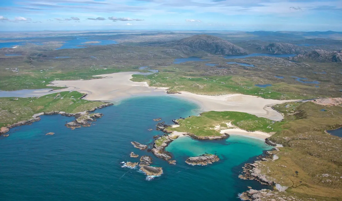 Photo: Western Isles, via www.wihb.scot.nhs.uk
The Ainmean-Àite na h-Alba project (Place-Names of Scotland) has been working with townships across the Gàidhealtachd to document Gaelic place-names before the last fluent speakers who know them in their full context are gone. But documentation, project coordinator Màiri MacLeod argues, is only part of the answer.
"A name in a database is a preserved thing," she says. "A name on a hand-drawn map that a community made together is a living thing. It's connected to people, to stories, to the act of making. That difference matters."
Several townships have now produced their own hand-drawn maps as part of this initiative — maps that show not just where things are but what they mean, annotated with pronunciation guides, associated songs, and oral histories recorded from elderly community members. These are not tourist maps. They are acts of cultural self-determination.
Field Names and Folk Memory
Back in England, the Fields of Britain project — a loose network of local historians, archaeologists and enthusiastic amateurs — has been systematically recording surviving field names from tithe maps, estate records and oral testimony. The project estimates that tens of thousands of historically significant field names have been lost since the Second World War, victims of agricultural consolidation, planning development and the simple passage of time.
What makes hand-drawn mapping particularly powerful as a recovery tool, project volunteer Andy Clifton explains, is that it activates knowledge that more formal methods miss.
"If you send someone a questionnaire asking them to list field names, you get a fairly sparse response. But if you sit people around a table with a big sheet of paper and start drawing together, something different happens. The social context of the map-making process unlocks memories that wouldn't surface any other way."
Clifton's own project, based in Herefordshire, has documented over four hundred field names in a single parish that had no formal record of any of them. The resulting map — hand-drawn, annotated, illustrated with small sketches contributed by local schoolchildren — now hangs in the village pub, where it regularly prompts conversations between older and younger residents that might otherwise never happen.
The Politics of the Personal Map
There is something quietly political about all of this. The standardised map is, among other things, an instrument of administration — a tool for managing, taxing and controlling land. The hand-drawn community map is its opposite: a tool for claiming, remembering and belonging.
Jess Tamblyn is direct about this dimension of her work. "When a community makes a map of their own place in their own words, they're asserting that their knowledge of the land is legitimate — that it counts for something. That's not a small thing, especially in rural communities that often feel like decisions about their landscape are made by people who've never walked it."
The maps coming out of these projects will never replace the Ordnance Survey. They're not trying to. What they offer instead is something the OS was never designed to provide: the felt texture of a place as it exists in the memory and imagination of the people who live there.
That, it turns out, is a kind of cartography worth reviving.